On the inner-German border
In 2019, I documented how the former inner-German border has changed to this day for the Main-Post daily newspaper. To do this, I photographed current views in Rhön-Grabfeld and juxtaposed them with archive photos by Hanns Friedrich from 1989.
For 40 years, Germany was divided into two states with a border around 1400 km long: the FRG (Federal Republic of Germany) in the west and the GDR (German Democratic Republic) in the east.
On November 9, 1989, this border opened and finally reunited the divided Germany.
So 30 years later, I set off for the Rhön-Grabfeld district to explore this border in the present day. I first stopped near Eußenheim, as this was once the crossing point from the GDR to Lower Franconia. My documentation also goes from Alsleben to Gompertshausen, on to Mendhausen and as far as Sülzfeld in Thuringia. The result is a multitude of new views of the original sites of the inner-German border.
The aim of the documentation was to superimpose the photographs exactly on top of each other so that they could be compared in the best possible way. Drag the slider to the left and right to see the historical photo or the current photo in a direct 1:1 comparison.


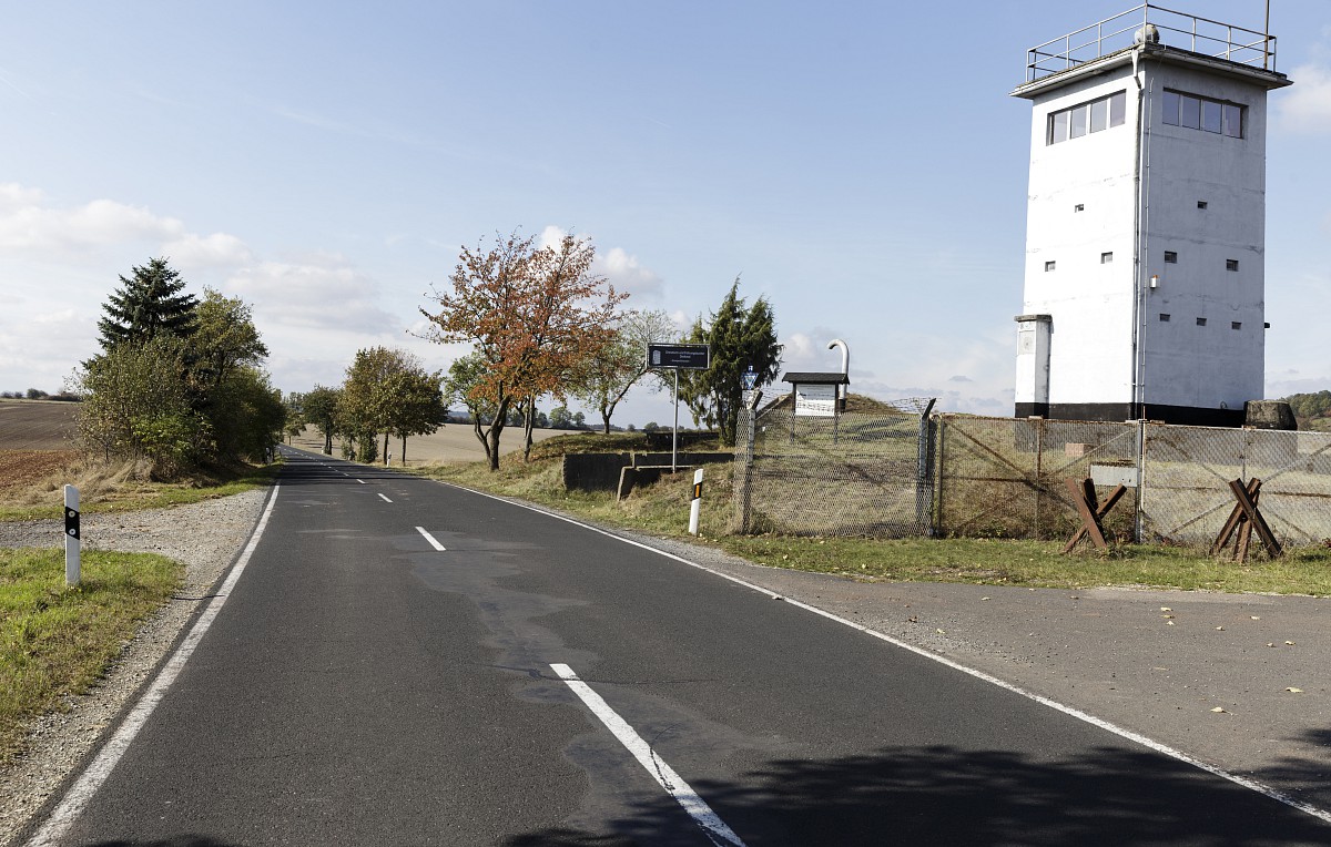
Border tower and fence near Gompertshausen, photo before: Hanns Friedrich
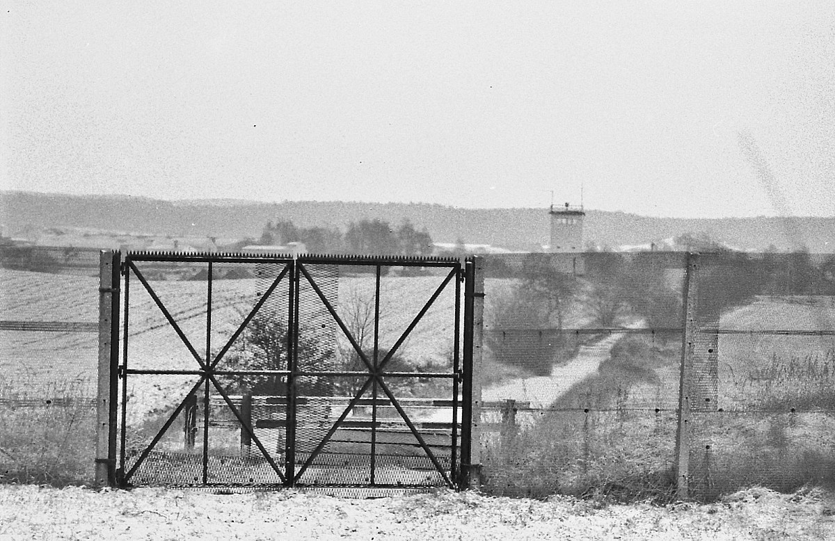
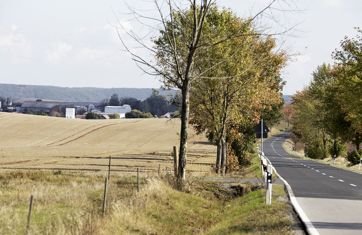
Border gate and metal fence near Gompertshausen, photo before: Hanns Friedrich
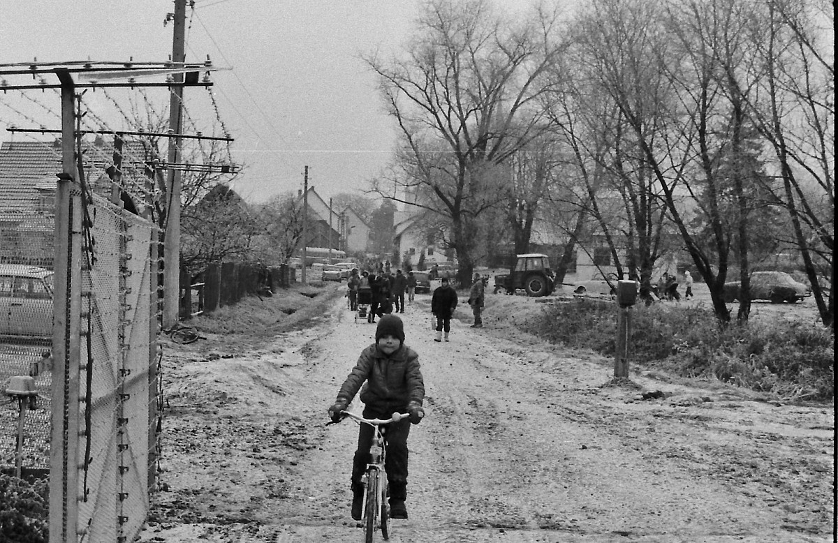
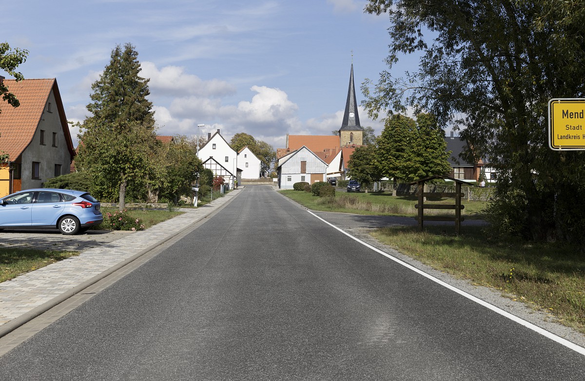
Old field path near Mendhausen from east to west, photo before: Hanns Friedrich
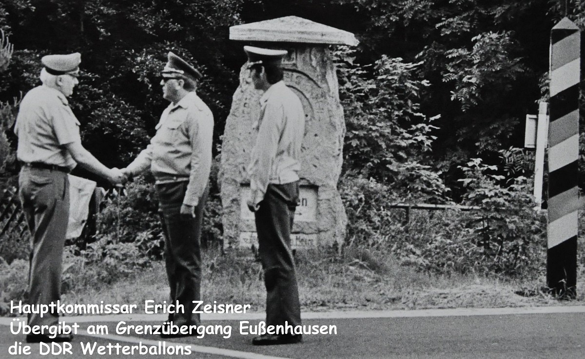

Former border crossing point Eußenhausen-Meiningen, photo before: Hanns Friedrich
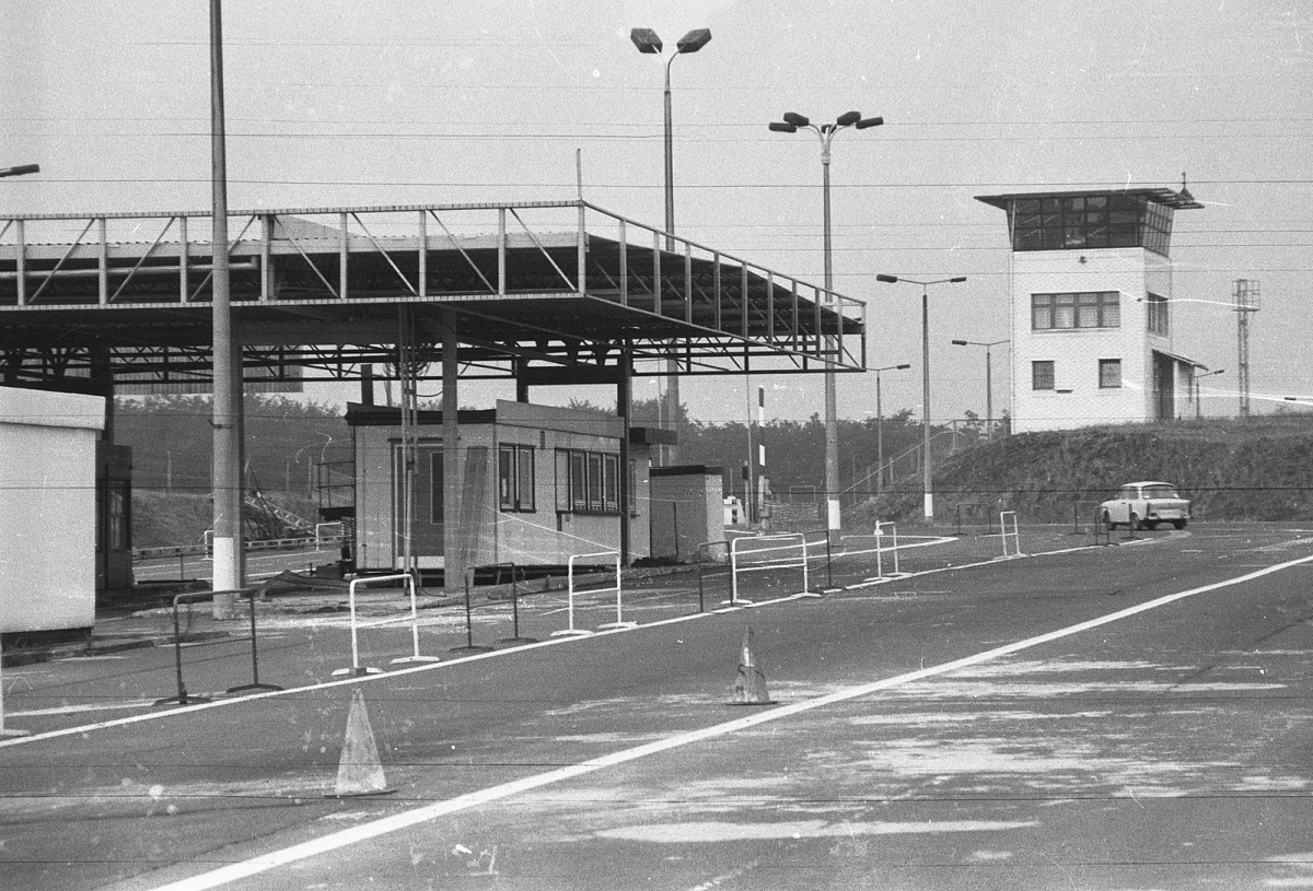
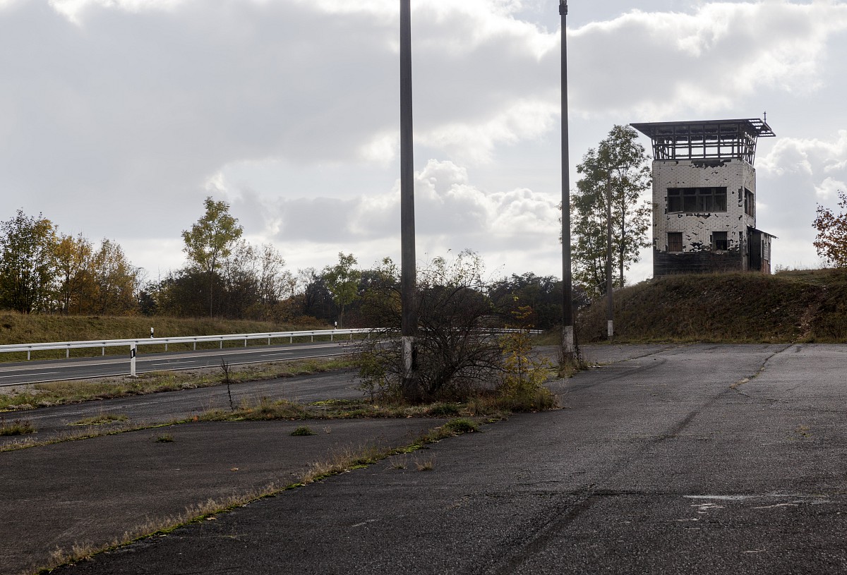
Border watchtower near Eußenhausen, photo before: Hanns Friedrich

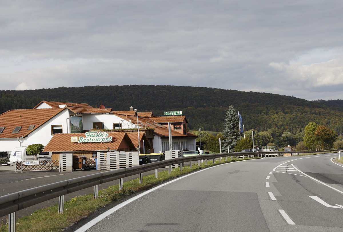
Former checkpoint near Sülzfeld, photo before: Hanns Friedrich
-
Quelle Text: mainpost.de
-
Source text: bundesarchiv.de
Let's get started together!
Feel free to contact me by e-mail or phone. I will take care of your request as quickly as possible. I look forward to hearing from you! Best regards, Johannes.
phone: +49 (0) 151 196 171 04 • mail:
Arrange an initial consultation
